After hiking rugged slopes and hand-drilling core samples from trees, BYU scientists can measure tree rings to find history’s droughts and floods. Narrow rings in this sample (below) indicate drought years.
Photos: Hiking by Mark Philbrick, Rings by Bradley Slade
By Heather J. Johnson (’15)
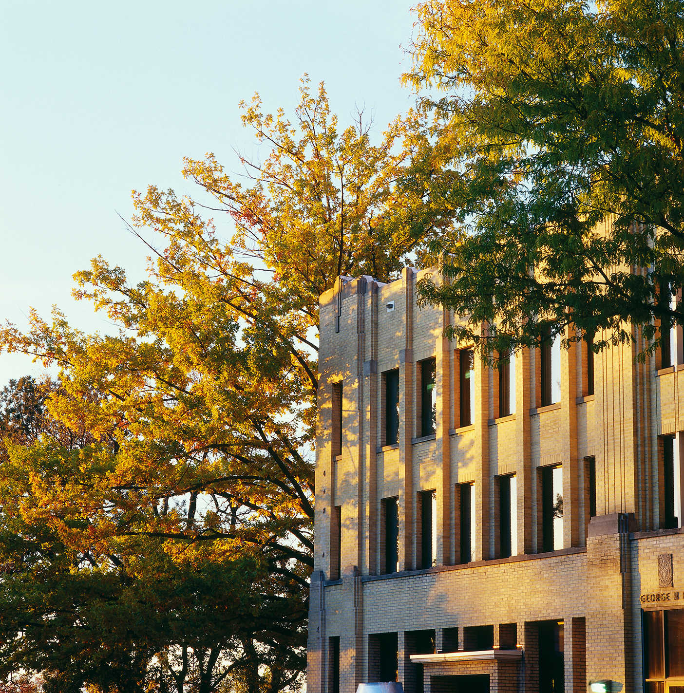
Armed with chainsaws, fuel, and drills, geography professor Matthew Bekker (BS ’94) and a group of students traverse a steep slope in the Wasatch Mountains, looking for trees that can tell them about the Weber River’s water level hundreds of years ago.
Once the group finds a sampling site—trees on rocky, south-facing slopes—they take core samples with a hand drill. Removing the pencil-sized samples doesn’t hurt the living trees and gives scientists a full view of the tree’s rings. Then it’s back to the lab for months of measuring under a microscope. Nathan S. Gill (BS ’13), the undergraduate coauthor on a related paper published in the Journal of the American Water Resources Association, admits that the measurement-taking and tree-ring counting is tedious. But the frustration made getting results that much sweeter—though the story the rings told is not so sweet for those living on the Wasatch Front.
Bekker found that, like much of the West, the Weber River Basin experienced more extreme patterns of droughts and floods in the distant past—his research goes back 575 years—than what’s been experienced in the last hundred years. Some of the more extreme events include an intense drought in 1580 when the Weber River dropped to 13 percent of the normal flow and a 16-year drought that started in 1703. If history is any indication, long and severe droughts and floods could return to the Weber River Basin.
Faced with a 16-year drought similar to one in the 1700s, Bekker says Wasatch Front residents wouldn’t have to leave, but they would have to alter the way they use water. Changes as small as not watering lawns in the heat of the day and planting more drought-resistant vegetation and less Kentucky bluegrass would help decrease the demand for water. Bekker hopes his research will encourage residents, legislators, and water managers to think more carefully about water conservation efforts.
Additional help for water managers comes from other members of the project’s larger research group, which includes the U.S. Forest Service, Columbia University, and Utah State University. Researchers at Utah State University use Bekker’s data to create and refine forecast models. These predictive models give water managers a broader perspective to better prepare for extreme events. “It’s a group effort. You can’t do this type of work alone,” says Bekker.
This current study is only the beginning for Bekker and the research group. In measuring the Wasatch region’s past, says Bekker, “we’re a measly 575 years back now, but we’re going to get back a thousand within a couple of months.”